Sachin Lama
Founder & Lead Expedition Leader
NIM Advanced Mountaineering (Grade A) · Wilderness First Responder · guiding since 2013
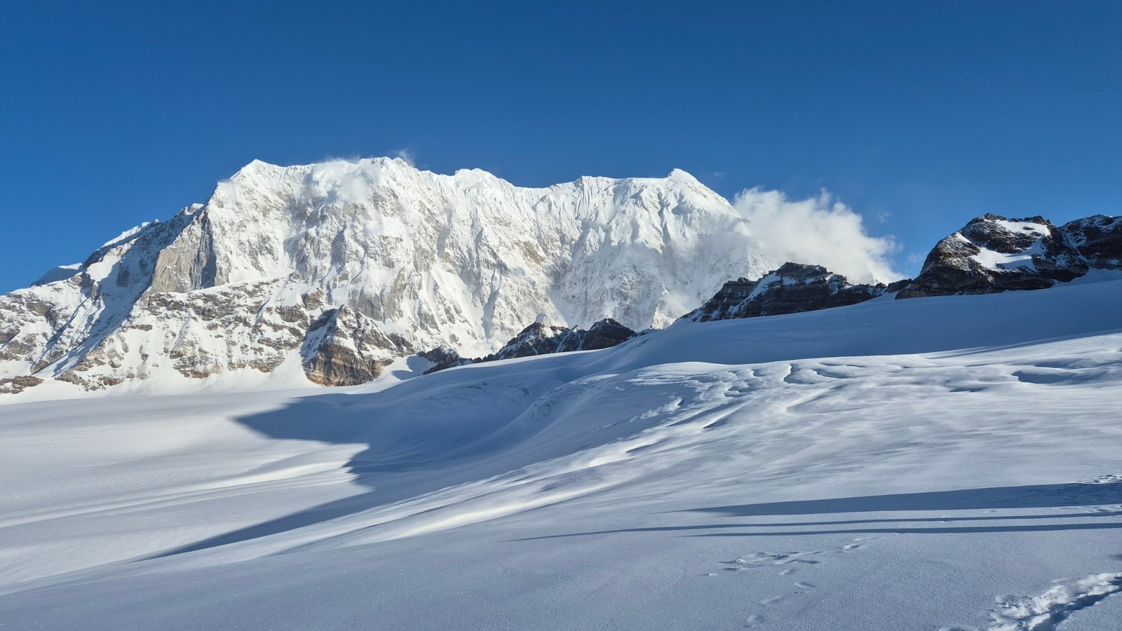
REMOTE JOURNEY STANDARD
If you’re ready to move beyond regular treks and step into the world of high-altitude Himalayan adventure, the Panpatia Col Trek is the perfect challenge.
IS THIS TRIP RIGHT FOR YOU?
A committed Himalayan journey for experienced trekkers who value remote terrain, sound preparation and a capable field team.
THE ROUTE
The Panpatia Col Trek is a 12-day expedition-style high-altitude trek in Uttarakhand that reaches 5,319 m. Kailasa grades it Difficult. The best time to go is May to June & September to October. The published price with Kailasa Treks is ₹ 89,999 + 5% GST.
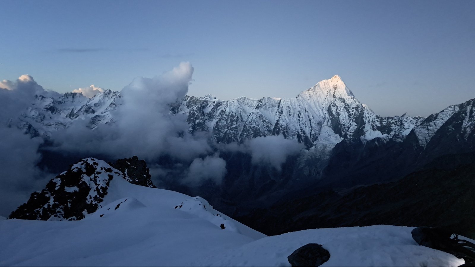
If you’re ready to move beyond regular treks and step into the world of high-altitude Himalayan adventure, the Panpatia Col Trek is the perfect challenge. Traversing one of the most scenic yet demanding routes in the Garhwal Himalayas, this trek tests your endurance, navigation skills, and ability to adapt to rugged terrain. Every part of the journey—glacial crossings, steep ridges, and unpredictable weather—requires careful planning and physical stamina. The trek connects the Govind National Park region to the Panpatia Valley, with the iconic Panpatia Col (5,200 meters) as its highest point.
The Himalayas have always been a playground for trekkers seeking extraordinary experiences, and among its high passes and alpine trails, Panpatia Col stands out as a magnet for adventure seekers. For some, it is a gateway to more challenging Himalayan expeditions; for others, it is a once-in-a-lifetime journey. The route challenges trekkers with glacier stretches, sharp ridges, and breathtaking high-altitude landscapes.
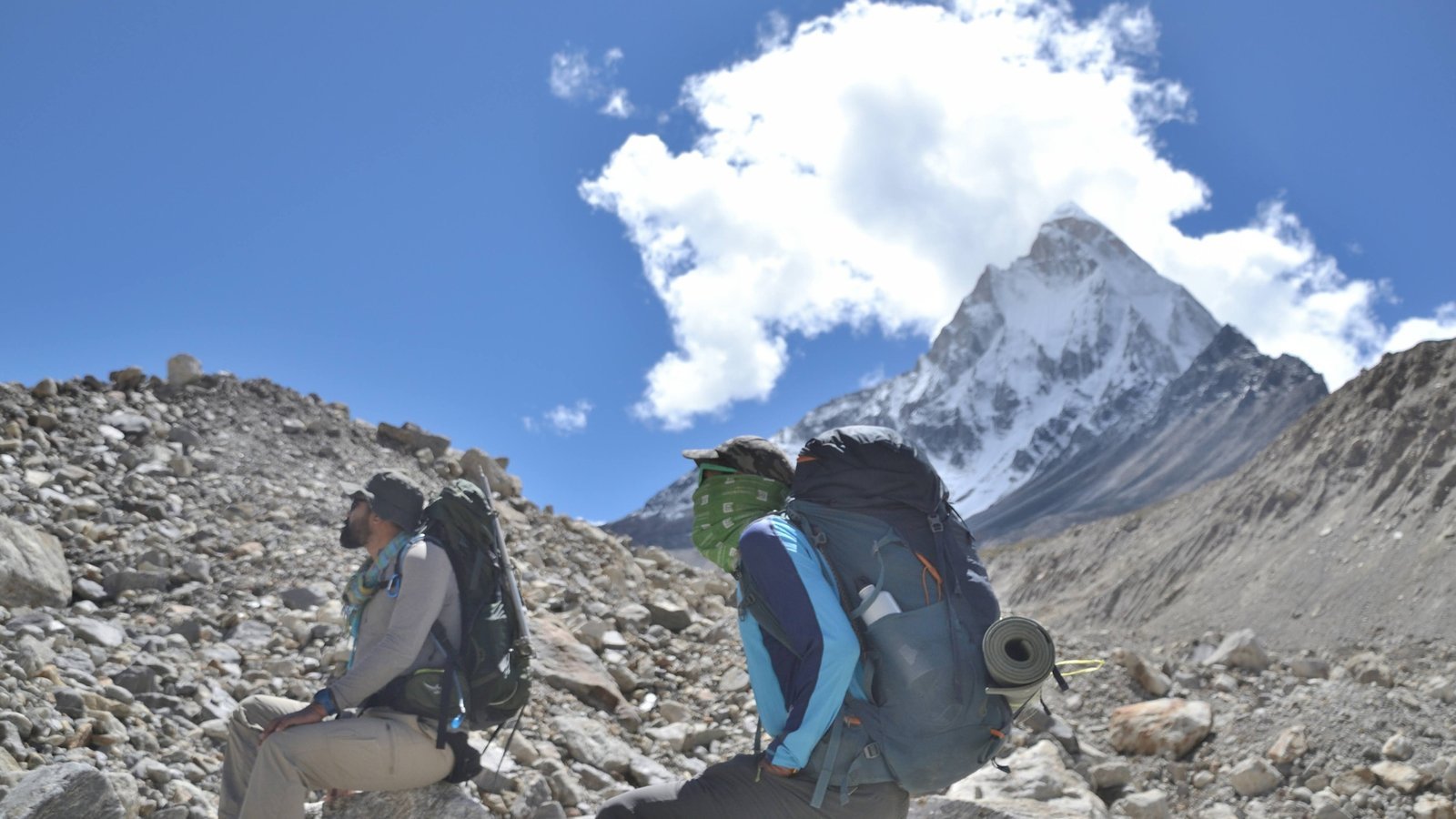
Its high-altitude terrain, technical sections, and changing weather make the Panpatia Col Trek suitable only for those with strong determination, good fitness, and prior trekking experience. Participants should be comfortable with high-altitude hiking, glacier navigation, and carrying their gear over rugged terrain.
| Region | Uttarakhand |
|---|---|
| Starts from | Dehradun |
| Highest point | 5,319 m |
| Duration | 12 Days |
| Difficulty | Difficult |
| Best season | May to June & September to October |
| Price | ₹ 89,999 + 5% GST |
Route details last reviewed 23 September 2026. Terrain, weather and permits can change the plan on the mountain.
DAY BY DAY
Tap a day to see the route, distances and camps. The schedule can change with acclimatisation, weather and team safety.
Report at Dehradun by 7:00 AM. Drive through scenic Himalayan roads to Joshimath. Overnight stay in a guesthouse.
Drive + 4 km trek Drive to Hanuman Chatti and cross a suspension bridge near Khirao over the Alaknanda River. After a short walk, camp at a clearing above the river confluence. Overnight stay in tents.
7 km trek Gradual ascent to Khirao village, followed by a steep climb through grasslands and treeline. Enjoy views of terraced farms and alpine slopes. Overnight stay in tents.
4 km trek A short walk brings you to the snout of the Panpatia Glacier. Campsite is located close to the glacier’s origin. Overnight stay in tents.
8 km trek Traverse endless moraines with occasional snow patches. Stunning views of Neelkanth, Parvati Peak, and the first glimpse of Chaukhamba. Overnight stay in tents.
6 km trek A short but steep climb brings you closer to Parvati Col and the vast Panpatia snowfield. Overnight stay in tents.
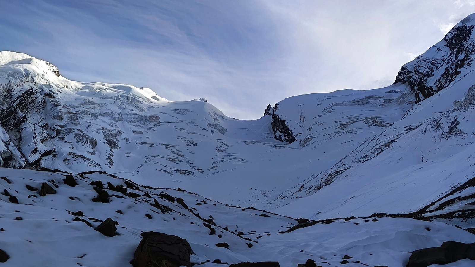
Via Parvati Col (16,732 ft) | 5 km trek Technical ascent through steep snow and rock gullies using fixed ropes. Enter the massive Panpatia Snowfield, surrounded by towering peaks. Overnight stay in tents.
Via Panpatia Col (17,257 ft) | 9 km trek Long traverse across the snowfield with minimal ascent. A dramatic descent leads to the serene Sujal Sarovar campsite. Overnight stay in tents.
7 km trek Cross a small pass followed by a steep descent through snow and boulders to lush meadows overlooking the Madhmaheshwar Ganga. Overnight stay in tents.
10 km trek Descend through oak forests towards Madhmaheshwar Temple. Continue to Nanu Chatti, a quiet summer settlement. Overnight stay in tents.
13 km trek + drive Walk along the Madhmaheshwar trail to Ransi. Drive onward to Rudraprayag.
Reserved for bad weather, acclimatization issues, or unforeseen delays. for more info Kailasa Treks.
GETTING THERE
The expedition starts in Dehradun. Day 1 of the itinerary: Dehradun → Joshimath (300 km Drive).
Your exact meeting point and time are confirmed in your trip briefing.
PACKING LIST
Technical gear listed under “Included” is provided by Kailasa; bring your own only if you prefer it.
WHO CLIMBS WITH YOU
Every Panpatia Col Trek team is led by certified Kailasa guides. You meet your assigned expedition leader at the technical briefing three weeks before departure.
Founder & Lead Expedition Leader
NIM Advanced Mountaineering (Grade A) · Wilderness First Responder · guiding since 2013
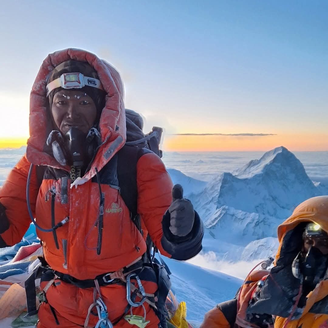
Sardar & fixed-rope team leader
22+ years on Himalayan expeditions · 16 Everest summits · Lhotse, Makalu, Dhaulagiri
CANCELLATION
What you get back depends on how long before the start date you cancel. You can take a refund or a credit for a future Kailasa trip, valid for one year.
| Before start | Refund | Future credit (same participant) | Future credit (another participant) |
|---|---|---|---|
| More than 60 days | 85% | 100% | Not stated |
| 60 to 30 days | 70% | 85% | 75% |
| 30 to 10 days | 40% | 70% | 65% |
| Less than 10 days | No refund | 50% | 40% |
BEFORE YOU ENQUIRE
Panpatia Col is a high-altitude trek with moderate to challenging terrain. It involves glacier crossings, steep ridges, and rugged trails, so prior trekking experience at high altitudes is recommended.
The ideal trekking window is June to September, when snow conditions are manageable and the weather is relatively stable.
The Panpatia Col (5,200 meters) is the highest point, requiring careful navigation over snow and glacier sections.
Yes. Trekkers should be comfortable with:
Long days of trekking at high altitude
Glacier navigation and using basic trekking equipment
Carrying their gear over rough and steep terrain
Base towns: guesthouses or lodges
Trek route: camping in tents with group cooking facilities
YOUR EXPEDITION STARTS HERE
Share your preferred dates, nationality and climbing history. Kailasa can assess route fit, then confirm the current itinerary, field support, permits, equipment and final amount in writing.
Reply within 24 hours · No payment to enquire · Written quote before you pay. Review the cancellation, privacy and booking terms before paying.
KEEP EXPLORING
THE KAILASA STANDARD
No blind checkout. No one-size-fits-all promise. Your enquiry begins with the route, your experience and the questions that matter before you commit.
Start a private planning conversationYour climbing history and readiness are discussed before the team recommends a route.
Acclimatisation, conditions and field decisions take priority over a fixed summit promise.
Ask for the current itinerary, inclusions, equipment plan and written final quote.
Confirm your expedition leader, support team and departure-specific safety arrangements.